|
»Click here to display Table of Contents«
|

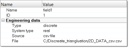
Mapping Types |

|

|

|

|
|
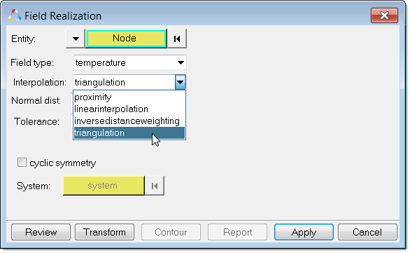
Mapping Types |
|
|

|

|
|
»Click here to display Table of Contents«
|
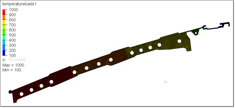
Mapping Types |
|
|
|
|
|
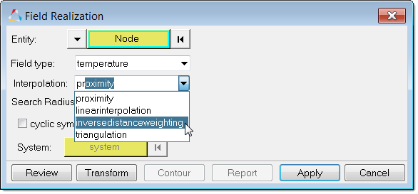
Mapping Types |
|
|
|
|
|
|
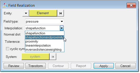
If the target model is slightly bigger than the source model (within the tolerance specified in the Field Realization dialog), the close point method will be used to find the values of the nodes outside the model. Use shapefunctionandproximity instead of shapefunction. Provide the correct Search Radius to detect the nodes which fall outside of the source model. If the Search Radios = 0 , the distance will be automatically found and searched.
|